
Long An Trading Ltd
The best solutions for China


EIVA is an engineering company with roots in the off-shore industry. They have been in the market since 1978 and have a long history of delivering solutions to all marine segments. Today they provide advanced equipment, software and turn-key solutions to virtually any sub-sea task.
Click on the picture for a PDF brochure
Click on the picture for a PDF brochure


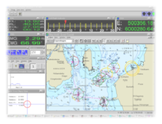
Online Software
integrated navigation and data acquisition
Includes:
integrated navigation and data acquisition
Includes:
|
|
NaviPac
|
|
|
NaviScan
|
Offline Software
Post Processing and Charting
Includes:
Post Processing and Charting
Includes:
|
|
NaviEdit
|
|
|
NaviModel
|
|
|
NaviPlot
|
ATTU
Accurate Time Tagging Unit
Accurate Time Tagging Unit
|
|
Increased quality of survey results for multi-
|
|
|
Reduced cost of cable installation onboard survey vessel
|
|
|
Available in rack-
|
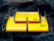
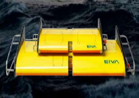
ScanFish
|
|
ROTV undulating platform
|
|
|
Oceanographic research
|
|
|
Hydrographic surveys
|
|
|
Side scan surveys
|
|
|
Magnetometer surveys
|
|
|
Fishery research
|
|
|
Environmental impact studies
|
|
|
UXO/mine hunting
|
Eiva
Marine Survey Solutions
Company Profile
